Home / Jeolla / Sanggwan Cypress Forest, Wanju
Sanggwan Cypress Forest, Wanju: a walk among 100,000 cypress trees near Jeonju
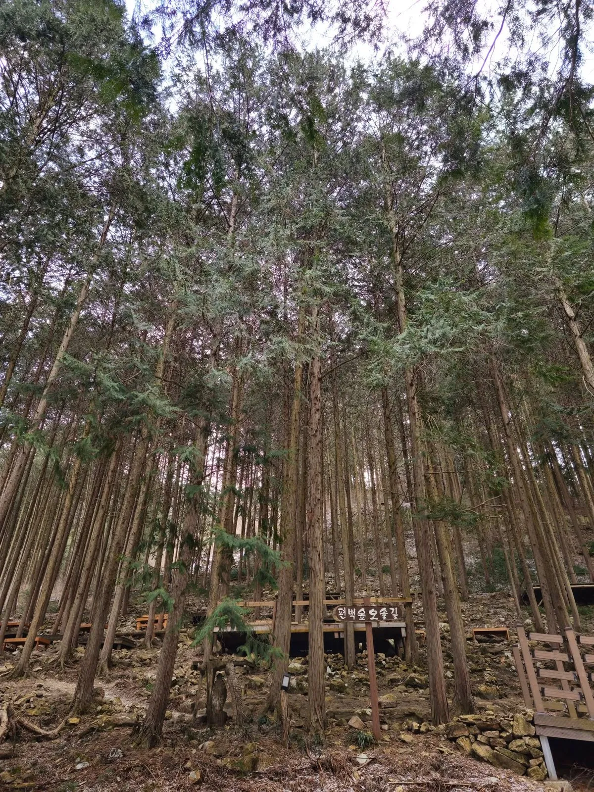
The cypress forest at Gonggi Village, Sanggwan-myeon, Wanju, Jeonbuk State: about 100,000 Hinoki cypress planted from 1976, with walking paths, benches and wooden platforms. Free entry and parking when I went. My cloudy February walk.
- Getting there
- By car: parking was free when I went (my visit, February 2025); we couldn't confirm it is still free. By bus from Jeonju: route 752 is on the official trail board (see below); check it in Naver Map.
- Cost
- Free entry and free parking when I went (my visit, February 2025). We couldn't confirm parking is still free.
- Time needed
- 2 hours 30 minutes for the full 6 km trail (official trail board); less for a short walk in the forest.
- Best time
- I went at midday on a cloudy, cold day in late February, with snow on the ground.
Tap any Korean name on this page to hear it. Prefer Naver Map? In the app (set to English), search Sanggwan Cypress Forest Wanju, or paste the Korean name:상관 편백나무숲
Short version: The cypress forest at Gonggi Village (공기마을) in Sanggwan-myeon, Wanju, Jeonbuk State, is a big stand of Hinoki cypress (편백), with walking paths, benches and wooden platforms. I went around noon on a Sunday in late February 2025. It was cloudy and cold, but it still had its own charm. Entry and parking were free.
Last checked: 17 November 2026. The forest’s size and the number of trees come from two news reports that agree (Hankyung Money magazine, 2023, and the Jeonbuk Ilbo, 2016); the year planting began comes from Hankyung Money and CBS NoCut News (2022). The trail’s length, time, start point and the bus directions come from the official Jeonbuk trail board at the forest, which I photographed in February 2025. Free entry and parking are from my own visit. The impressions and the photos are from my own visit. Tell me if anything has changed.
What it is
The forest covers about 86 hectares, with about 100,000 cypress trees, according to Hankyung Money magazine (2023) and the Jeonbuk Ilbo (2016). Planting began in 1976 under a reforestation drive, with the villagers doing the planting themselves, according to Hankyung Money (2023) and CBS NoCut News (2022).
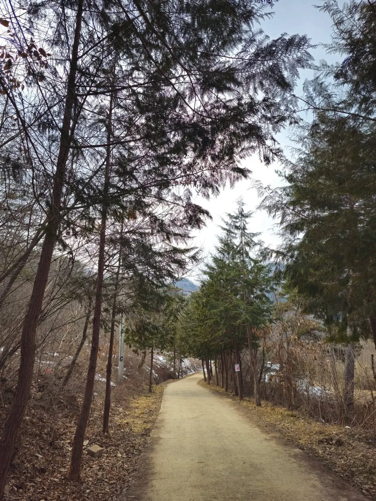 A cypress-lined path.
Walking in the forest
There are walking paths, and wooden platforms and benches, so it’s a good place to rest. The weather was cloudy and cold when I went, but it still had its own charm.
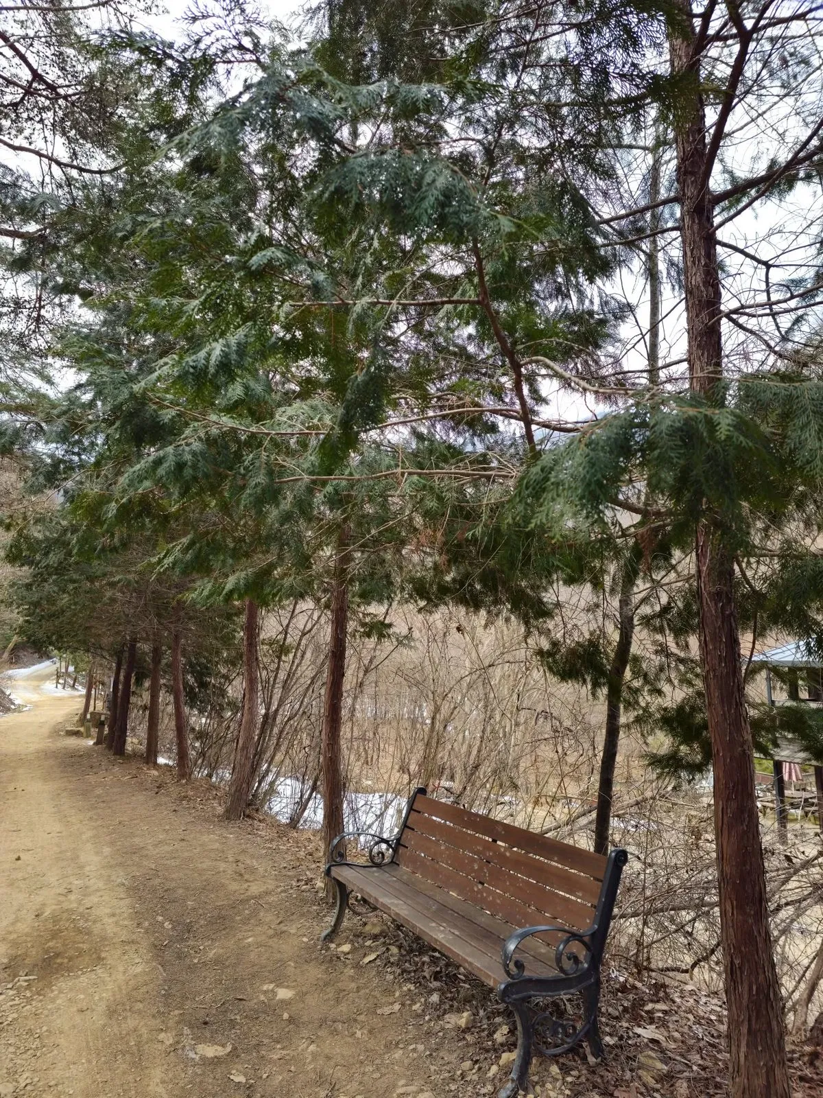 A bench by the path.
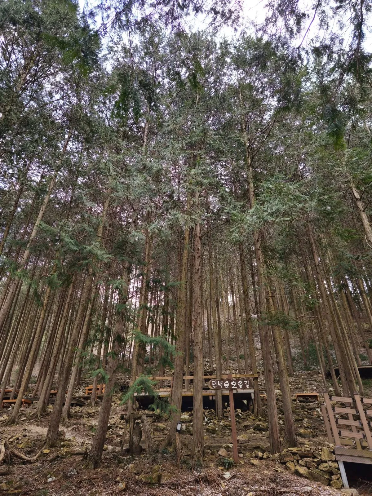 The forest path (편백숲 오솔길), with wooden platforms among the trees.
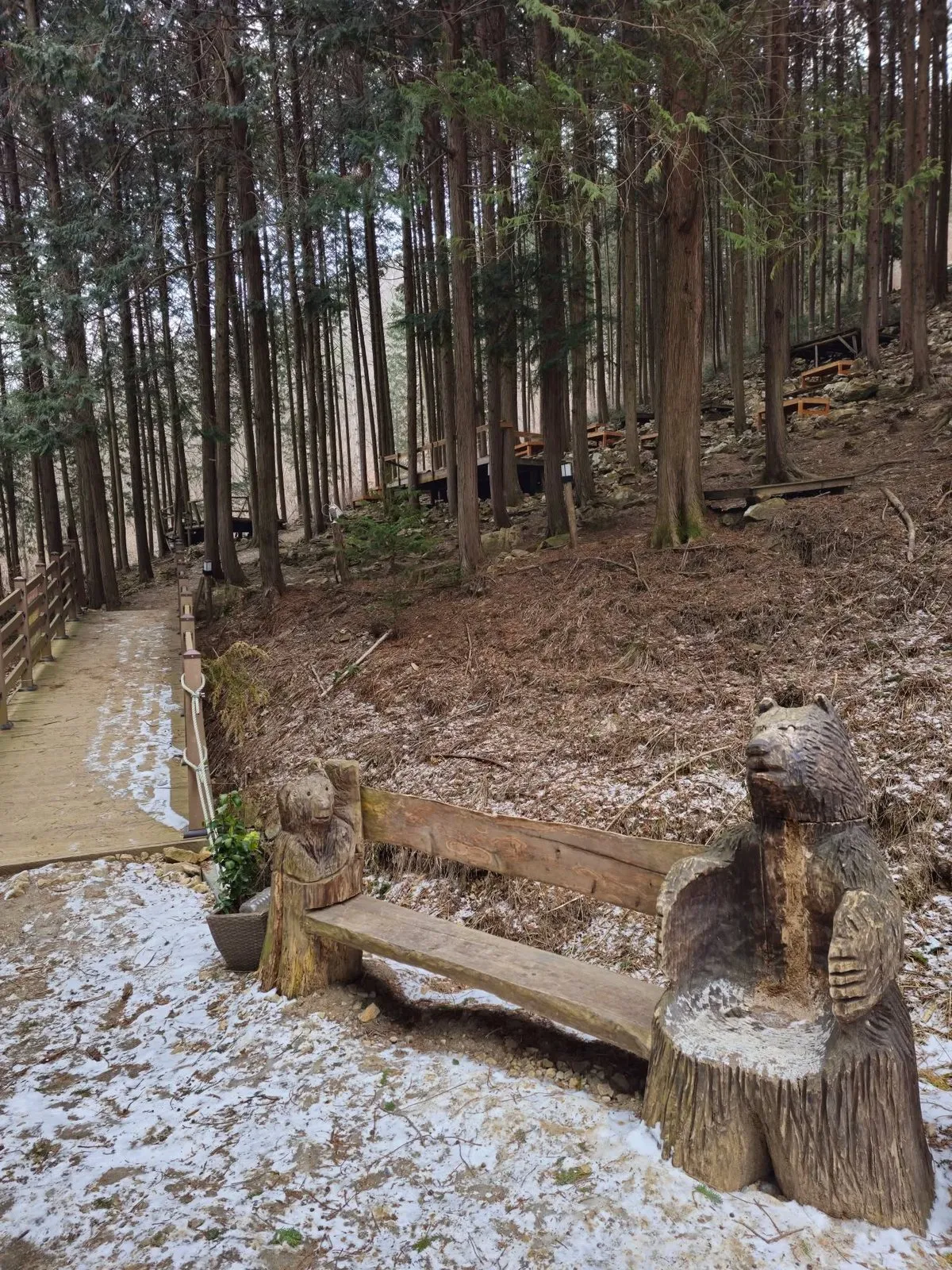 A carved bear bench by the boardwalk.
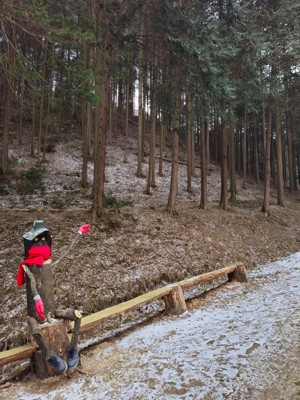 A log figure dressed up for the cold.
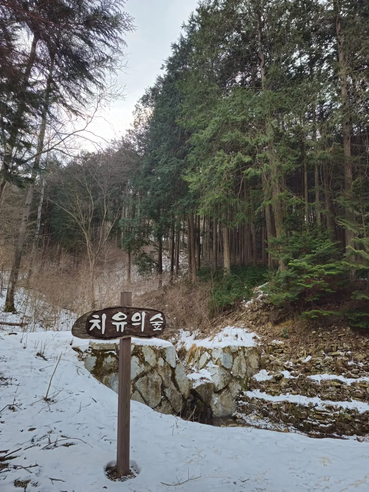 A sign reading 치유의 숲, “healing forest”.
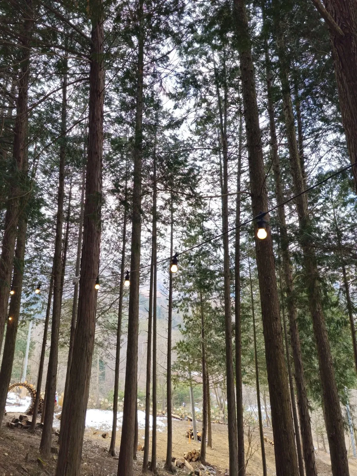 String lights in the trees.
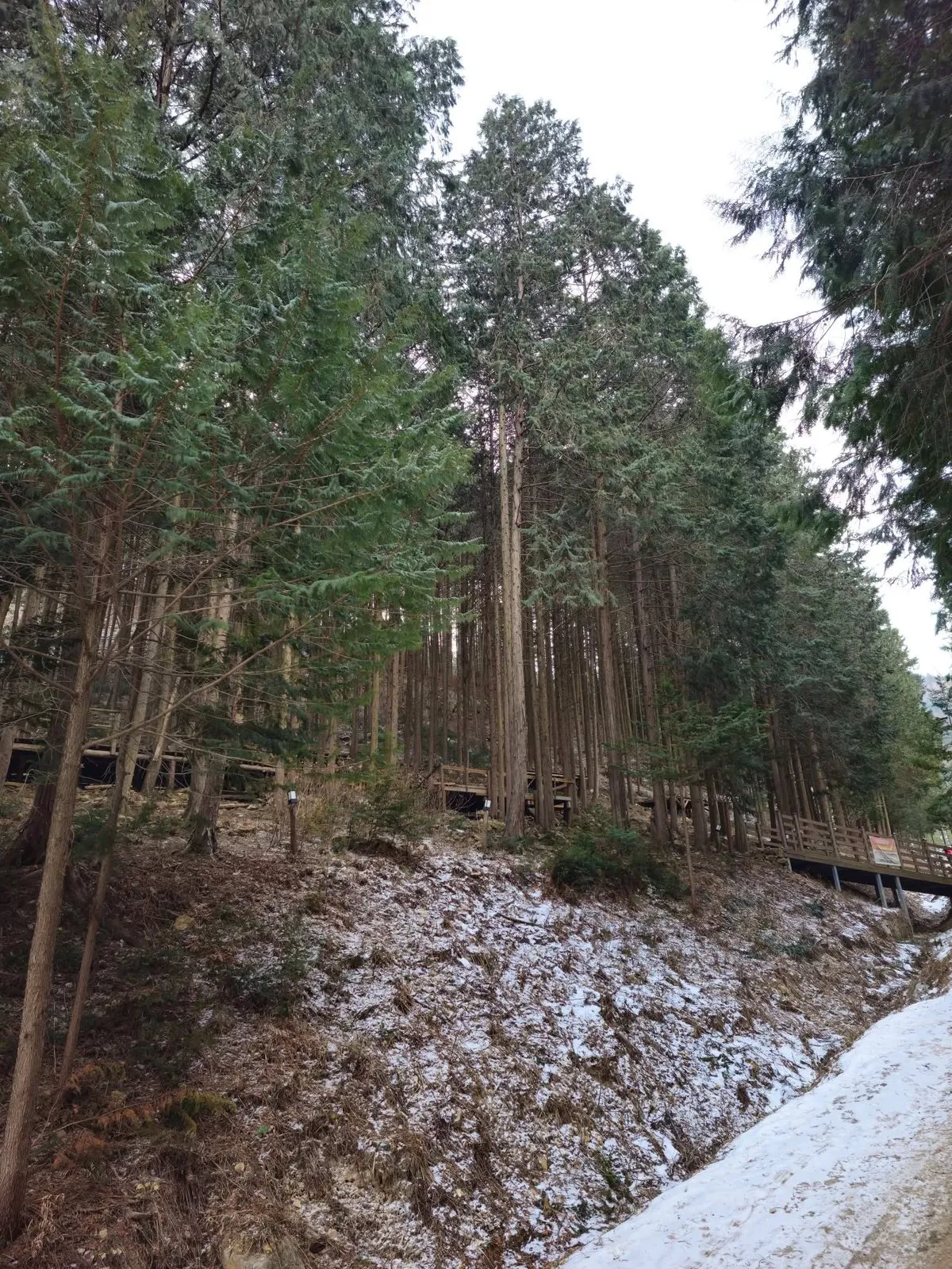 Cypress on the hillside above the path.
The trail
The official Jeonbuk trail board at the forest describes the Wanju Cypress Forest Trail (완주 편백숲길) as a 6 km mountain-and-field trail (산들길) taking about 2 hours 30 minutes, graded easy, though the same board warns that the slopes aren’t gentle and the ground is damp, so you can’t hurry. It starts and ends at the Sanggwan Cypress Forest public car park (상관편백숲 공영주차장).
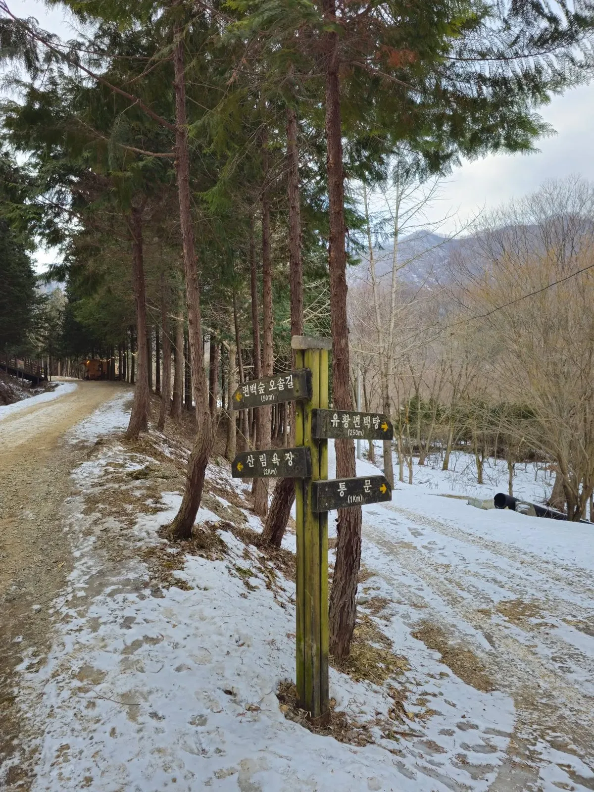 The signpost: the forest path 50 m, 유황편백탕 (literally “sulphur cypress bath”) 250 m, the forest bathing area 2 km.
Visiting
| Sanggwan Cypress Forest | |
|---|---|
| Entry | Free when I went (my visit, February 2025) |
| Parking | Free when I went (my visit, February 2025); couldn’t confirm it’s still free |
| Trail | 6 km, about 2 hours 30 minutes, easy (official trail board) |
| Where | Gonggi Village, Jungnim-ri, Sanggwan-myeon, Wanju. Search 상관편백숲 공영주차장 in Naver Map |
How to get there
By car: I drove. Parking was free when I went (my visit, February 2025). We couldn’t confirm it is still free.
By bus from Jeonju: the official trail board (photographed February 2025) gives this route from Jeonju Express Bus Terminal (전주고속버스터미널): walk 9 minutes (527 m) towards Girin-daero to the stop 기린대로금암광장, take bus 752 to the stop 원죽림, then, from the opposite side of the road, walk 22 minutes (1.5 km) in the direction signed 편백숲가는길 (“the way to the cypress forest”). Check the route is still running in Naver Map before you go.
How to check buses in English: install Naver Map and switch it to English in its settings. When I checked it in October 2026, the English version showed bus routes, stop names and live arrival times (minutes and stops away) in English. Google Maps also gives public transport directions in Korea, but as of late September 2026 it still had no turn-by-turn walking or driving navigation here. Stuck? Call the Korea Travel Hotline: dial 02-1330 from a Korean mobile phone (+82-2-1330 from abroad). It has English-speaking staff. More in our guide to taking buses in Korea in English.
Tips
- Expect snow in winter. In late February there was snow on and beside the paths (my photos). Wear shoes with grip.
- You don’t have to do the whole trail. The forest path is 50 m from the signpost in my photo.
- Go with company. It would be good to go with family, and fun with friends too.
Who it’s for
Likely to suit (estimate): walkers, families, anyone staying in Jeonju who wants a quiet forest nearby, and people driving round Jeonbuk on a budget.
Sources
Hankyung Money magazine, January 2023, and the Jeonbuk Ilbo, August 2016 (about 86 hectares, about 100,000 cypress trees; Hankyung Money and CBS NoCut News, September 2022, for the 1976 reforestation and the villagers’ planting); the official Jeonbuk trail board at the forest, which I photographed in February 2025 (the trail’s name, 6 km, 2 hours 30 minutes, easy, the slope warning, the car park start point, the bus directions); the signpost in my photo (distances). Free entry and parking, the impressions and the photos are from my own visit.