Home / Gyeonggi / Jukjusanseong Fortress (Anseong)
Jukjusanseong Fortress, Anseong: a Korean mountain fortress that held off the Mongols
Jukjusanseong in Juksan, Anseong: a three-layered stone mountain fortress first built by Silla in the 6th century, where General Song Mun-ju held off the Mongols. Free, always open, with a steep walk up from the car park.
- Getting there
- 111-71 Jugyang-daero, Juksan-myeon, Anseong (Korea Tourism Organization). I drove; from the car park it's a steep walk up. For buses, check the live route in Naver Map.
- Cost
- Free (Korea Tourism Organization).
- Time needed
- About 1 to 2 hours with the walk up and part of the wall (estimate)
- Best time
- Always open, all year (Korea Tourism Organization). Go in daylight: it's a hillside walk.
Tap any Korean name on this page to hear it. Prefer Naver Map? In the app (set to English), search Jukjusanseong Fortress Anseong, or paste the Korean name:죽주산성
Short version: Jukjusanseong (죽주산성) is a stone mountain fortress above Juksan in Anseong, Gyeonggi Province. Its on-site board says the Silla kingdom first built it in the latter half of the 6th century, and that it was used right up to the Joseon period. In the 1230s General Song Mun-ju held it against the Mongols, and in 1593 a Korean commander won it back from Japanese forces. It’s free and always open. I drove there on a Monday in May 2025. The walk up from the car park is steep: it looks gentle in photos, but it feels like about 45 degrees.
Last checked: 16 November 2026. The history, the three walls and the 1236 and 1593 dates come from the information board at the fortress, which has an English text and which I photographed. The 15-day defence comes from the Encyclopedia of Korean Culture, a 2018 Kyeonggi Ilbo feature and a 2025 Money Today column (they differ on the year). Entry, opening, parking and the address come from the Korea Tourism Organization’s listing (updated October 2026). The wall and trail lengths come from the board’s map, Gyeonggi Province’s magazine, the Encyclopedia of Korean Culture and the Money Today column (they differ). The route of the Yeongnam-gil walking trail comes from Gyeonggi Province and the Korea Tourism Organization. The steep walk and the photos are from my own visit. Tell me if anything has changed.
What it is
It’s been a while since my last heritage post! Jukjusanseong is a mountain fortress in Anseong, and it isn’t just an old stone wall.
According to the board at the site, it was built where the road running north–south through central Korea met a road running east–west to the west coast, to control that crossroads. The board says the Silla kingdom built it in the latter half of the 6th century, after pushing north into the Han River area, and that it stayed in use until the Joseon period (1392–1910).
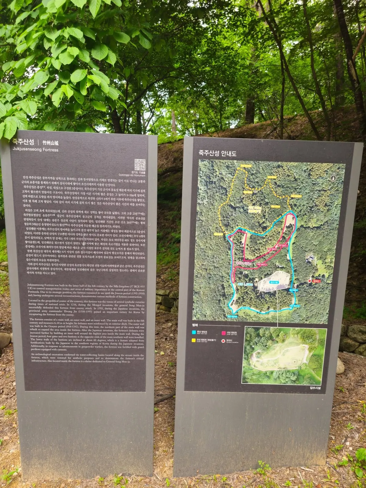 The boards at the fortress: the history in Korean and English, and a map of the walls.
Three walls
The fortress has three walls: a main wall (called the middle wall, 중성, in Korean), an outer wall and an inner wall. The board explains the order:
- Main wall (6th century, Silla): 6 to 10 m high, with a ditch dug outside it.
- Outer wall (Goryeo period): built to enlarge the fortress to the north.
- Inner wall (after the Japanese invasions of the 1590s): built around the highest ground inside the main wall.
In the Joseon period, four gates and two bastions were added. The board points out that the bastions’ lower walls lean at about 60 degrees, a style borrowed from the forts the Japanese built in southern Korea during the invasions, and that guard posts for cannon were added as gunpowder weapons spread.
How long is the wall? The map on the board marks a trail along the main wall of about 1.3 km and one along the inner wall of 1,125 m; the outer-wall trail is marked as closed to visitors. For the wall’s full length, Gyeonggi Province’s magazine and the Encyclopedia of Korean Culture give 1,688 m and a 2025 Money Today column 1,322 m, so we couldn’t confirm a single figure.
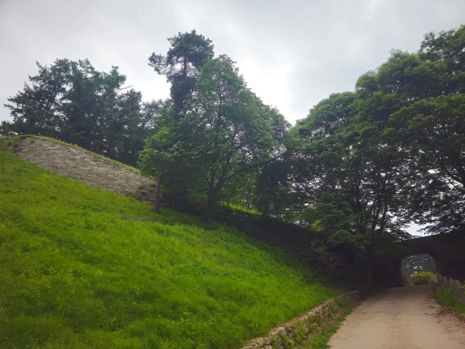 The wall climbing the hill, with the gate at the bottom right.
The Mongols and the Japanese
The board says that in 1236, during the Mongol invasions, General Song Mun-ju defended the fortress against the Mongol army. The Encyclopedia of Korean Culture, a 2018 Kyeonggi Ilbo feature and a 2025 Money Today column all say the fighting lasted 15 days before the Mongols withdrew. They differ on the year (1235, 1236 or 1237), so we’ve kept the board’s 1236. There is a shrine to General Song Mun-ju inside the fortress (board).
In 1593, during the Japanese invasions, the provincial army commander Hwang Jin won an important victory by retaking the fortress from Japanese forces (board). The board calls the fortress a symbol of Korea overcoming national crises such as the Mongol and Japanese invasions.
The walk up
The walk up is a little bit of exercise. The slope is quite steep. From the car park to the fortress you have no choice but to walk.
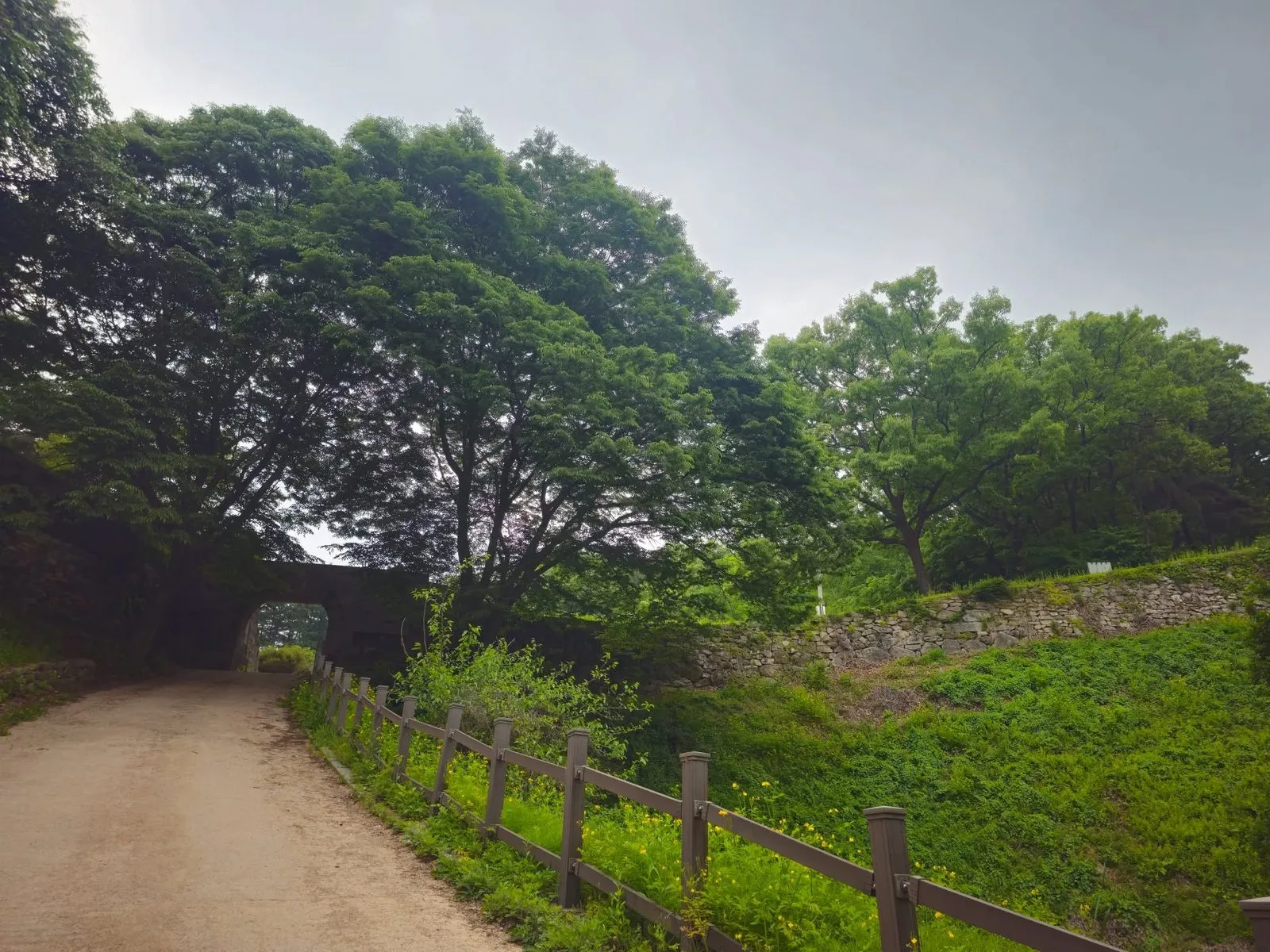 The slope I mean. It looks gentle here, but in real life it feels like about 45 degrees.
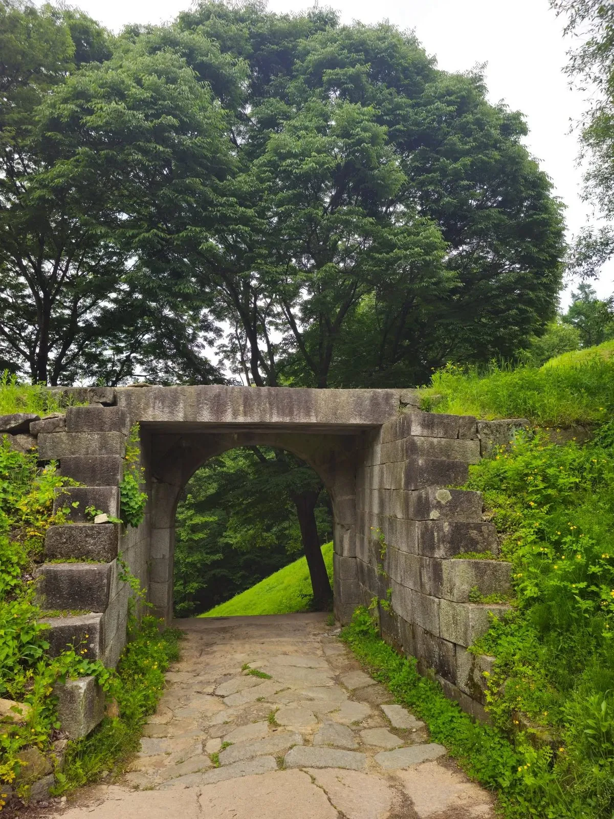
At the top you go through the old stone gate into the fortress.
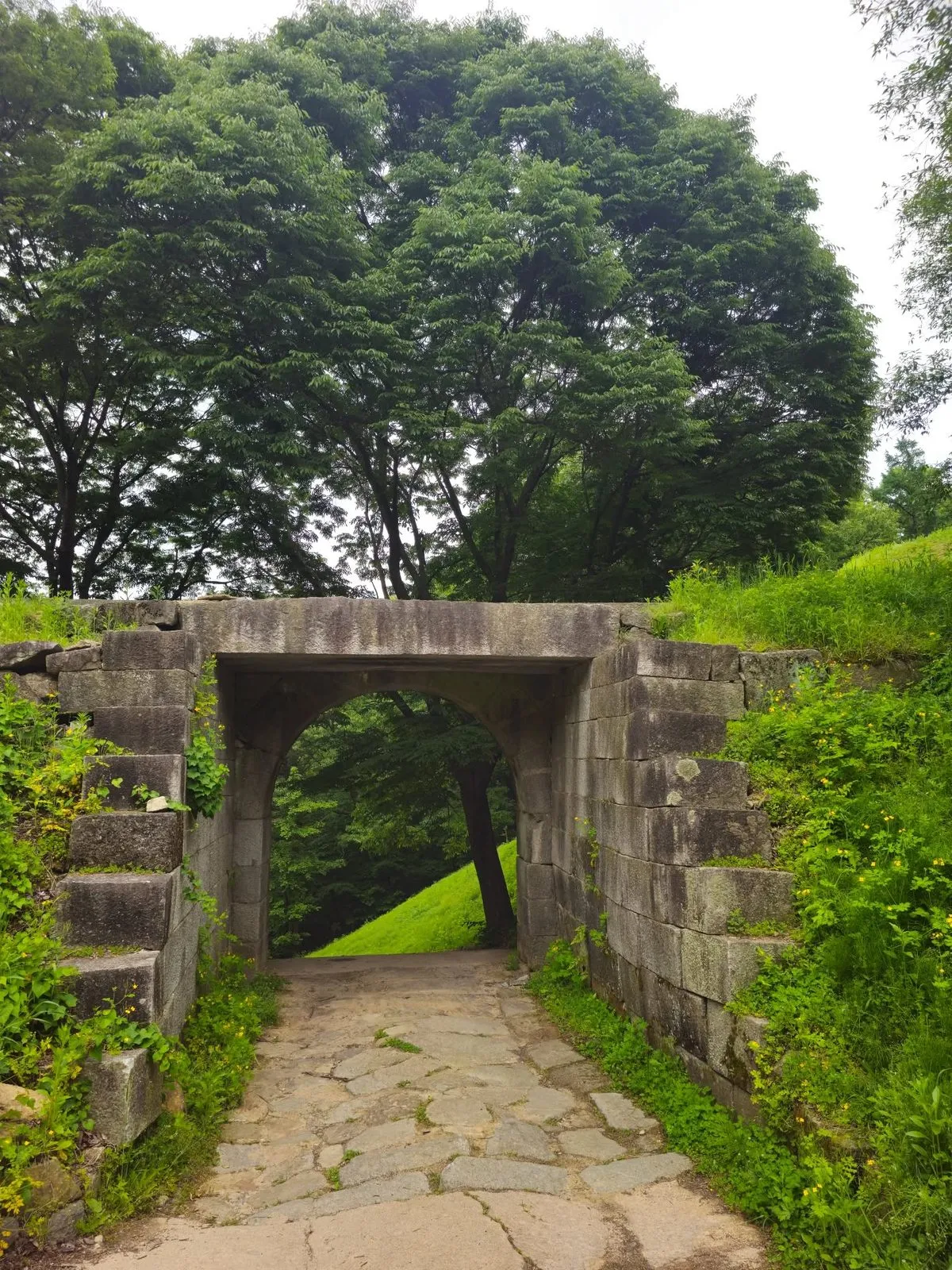 The gate, with a grassy slope beyond.
Visiting
| Jukjusanseong Fortress | |
|---|---|
| Entry | Free (Korea Tourism Organization) |
| Hours | Always open, all year (Korea Tourism Organization) |
| Parking | Available (Korea Tourism Organization); a steep walk up from the car park |
| Address | 111-71 Jugyang-daero, Juksan-myeon, Anseong |
How to get there
By car: I drove. The Korea Tourism Organization lists parking; from the car park you have to walk up.
By bus: we couldn’t confirm the bus details, so I haven’t listed them. Check the live route in Naver Map by pasting the Korean name, 죽주산성.
On foot: Gyeonggi Province’s Yeongnam-gil, a walking trail that follows the Gyeonggi stretch of the old Joseon road from Seoul to Busan, passes the fortress on its Course 8 (13 km, about 4 hours 30 minutes).
How to check buses in English: install Naver Map and switch it to English in its settings. When I checked it in October 2026, the English version showed bus routes, stop names and live arrival times (minutes and stops away) in English. Google Maps also gives public transport directions in Korea, but as of late September 2026 it still had no turn-by-turn walking or driving navigation here. Stuck? Call the Korea Travel Hotline: dial 02-1330 from a Korean mobile phone (+82-2-1330 from abroad). It has English-speaking staff. More in our guide to taking buses in Korea in English.
Tips
- Wear proper shoes. The walk up from the car park is steep.
- Read the board. It has an English text and a map of all three walls.
- Walk the wall. It’s a nice length for a stroll once you’re up.
Who it’s for
Likely to suit (estimate): history fans, anyone who likes old fortress walls, and walkers who don’t mind a short, steep climb.
Sources
The information boards at the fortress (photographed on my visit: the history, the three walls, the 1236 and 1593 dates, the bastions, the shrine, the trail lengths on the map), the Encyclopedia of Korean Culture, a 2018 Kyeonggi Ilbo feature and a 2025 Money Today column (the 15-day defence; the column’s 1,322 m; the encyclopedia’s 1,688 m), Gyeonggi Province’s magazine (the walking course, the 1,688 m figure), the Korea Tourism Organization’s listing of the Yeongnam-gil (the walking course), the Korea Tourism Organization’s listing for the fortress (entry, opening, parking, address), and my own visit and photos.