Home / Gangwon / Godae-ri Dolmens
Godae-ri Dolmens, Yanggu: Bronze Age tombs next to Hanbando Island
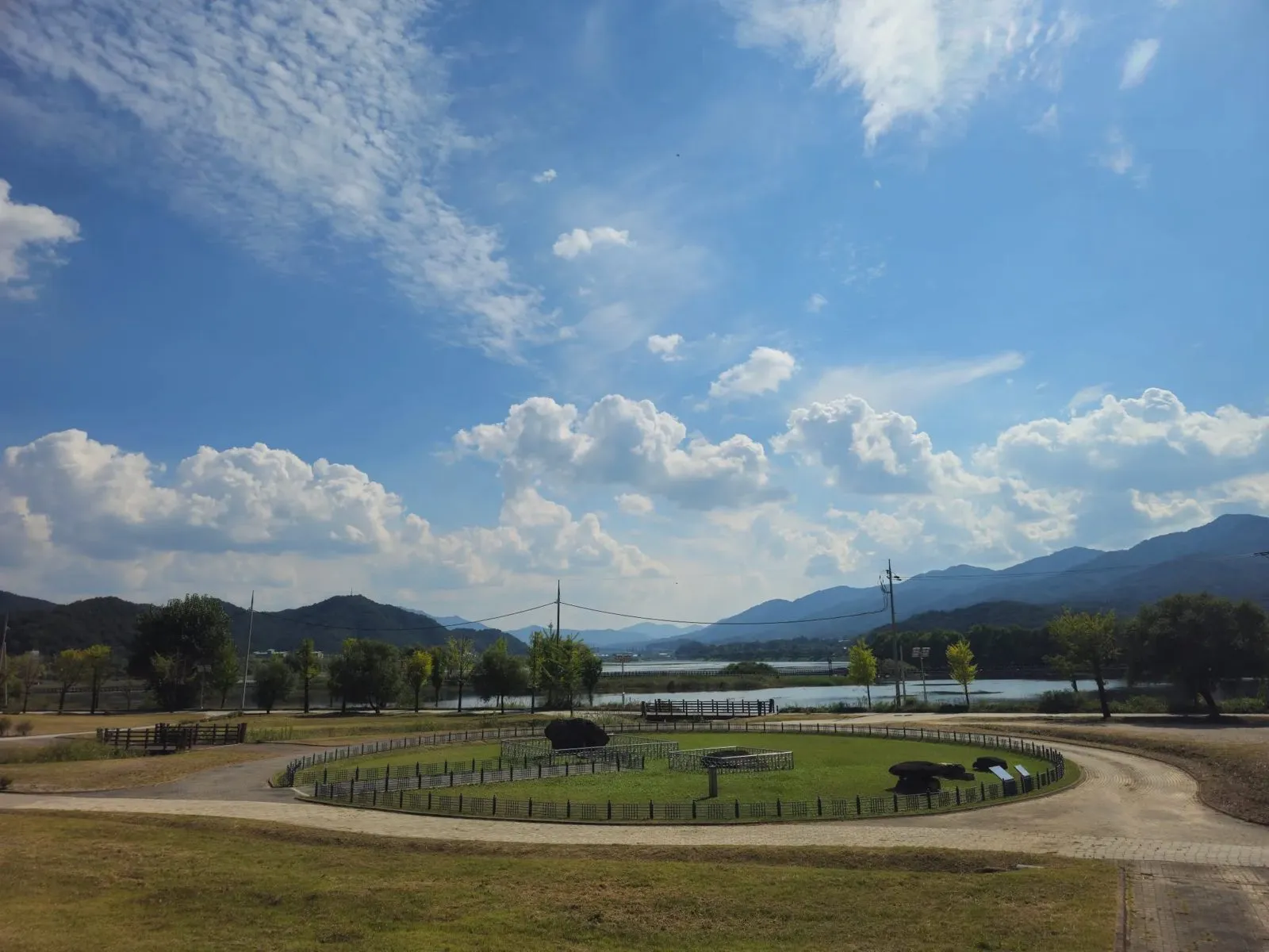
Bronze Age dolmens on a fenced lawn in Yanggu, mountains behind and Hanbando Island, shaped like the Korean peninsula, in front. Free parking; a good quiet stop.
- Getting there
- By car: there's a wide free car park. For buses, check the live route in Naver Map (in English).
- Cost
- Free to look around (I paid nothing on my visit). Parking was free too.
- Time needed
- 20 to 40 minutes (estimate)
- Best time
- Daytime, in clear weather. It's an open outdoor site.
Tap any Korean name on this page to hear it. Prefer Naver Map? In the app (set to English), search Godae-ri Dolmens Yanggu, or paste the Korean name:고대리지석묘군
Short version: In Godae-ri, Yanggu, a few Bronze Age dolmens (prehistoric stone tombs) sit in a round, fenced lawn, with mountains behind and a lake in front. It isn’t a big, showy sight, and that’s what makes it pleasant: you can take your time. The car park is wide and free, and Hanbando Island, an island shaped like the Korean peninsula, is right in front. If you’re passing through Yanggu, it’s a good short stop (my view).
Last checked: 12 October 2026. The history comes from the two information boards at the site, which I photographed, plus the Encyclopedia of Korean Culture and a 2026 news report. The free parking, the setting and the address are from my own visit. For public transport, use Naver Map’s live routes. Tell me if anything has changed.
What it is
A dolmen is a prehistoric tomb built from large stones. The board at the site says these dolmens were found during a 2012 excavation by the Gangwon Research Institute of Cultural Heritage, carried out before a river environment project in the Godae area, and were then moved here and restored. According to the board, there are three: one “table” type, where the burial chamber sits above ground under a capstone, and two “capstone” type, where the chamber is underground with a capstone on top.
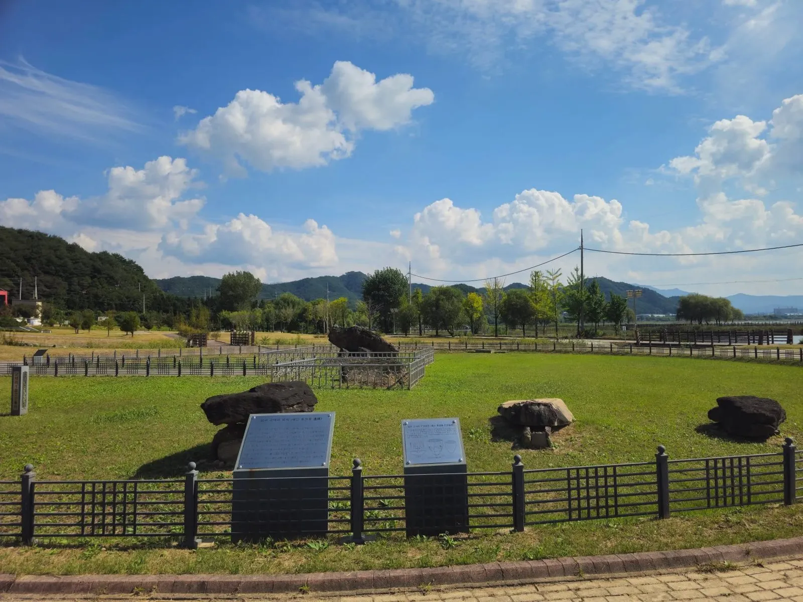 The dolmens inside the fence, with the information boards.
The second board describes the wider Godae-ri site. It says the area sits on a riverside terrace about 180 m above sea level, formed by two streams, and that the Godae-ri dolmen group was first identified in 1967 (the encyclopedia below says it was first surveyed in 1968, so take it as the late 1960s). According to the board, the 2012 excavation found a sizeable Bronze Age settlement as well as dolmens, along with remains from the Early Iron Age, the Three Kingdoms period and the Joseon period: 212 features in all, including 90 Bronze Age dwellings. Finds included pottery, stone arrowheads, stone knives, stone axes, spindle whorls, iron arrowheads and iron ploughshares.
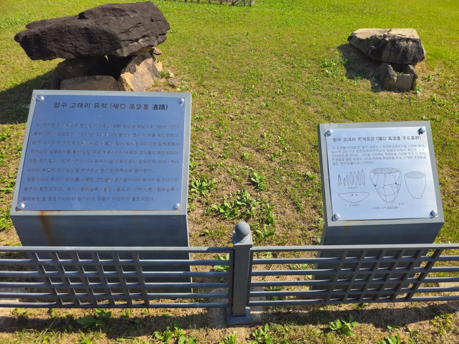 The two boards, in Korean only. A translation app can help.
The Encyclopedia of Korean Culture says a dolmen group in Godae-ri was designated a Gangwon provincial monument on 16 December 1971, and a 2026 news report also describes the Godae-ri dolmen group as a heritage site designated by the province. The encyclopedia lists the designated monument’s address as the Yanggu Prehistory Museum. It says some of the dolmens found in earlier surveys were moved to the museum’s outdoor exhibition area, and that the original site now lies within Paroho, a man-made lake, and can be under water in the flood season. The three stones here are the ones the board says were found in 2012 and moved to this spot. I couldn’t confirm whether they are part of the 1971 designation.
What I saw
The dolmens sit in a round lawn with a low fence, and a paved path curves around it. Behind are wooded hills, and in front is the water around Hanbando Island. On the day I went, the sky was spectacular.
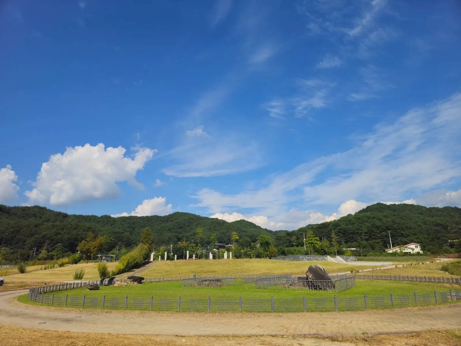 The lawn and the hills behind.
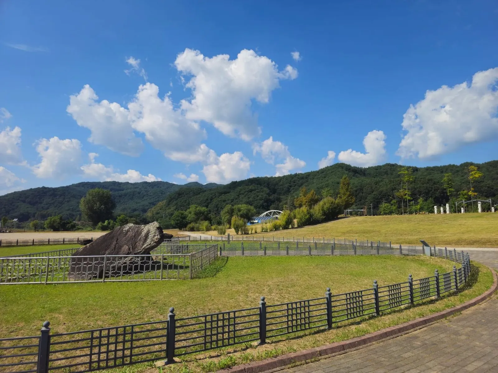 One of the dolmens from the path.
Hanbando Island is right in front. Seen on a map, it’s shaped like the Korean peninsula, and Hanbando means “Korean peninsula”.
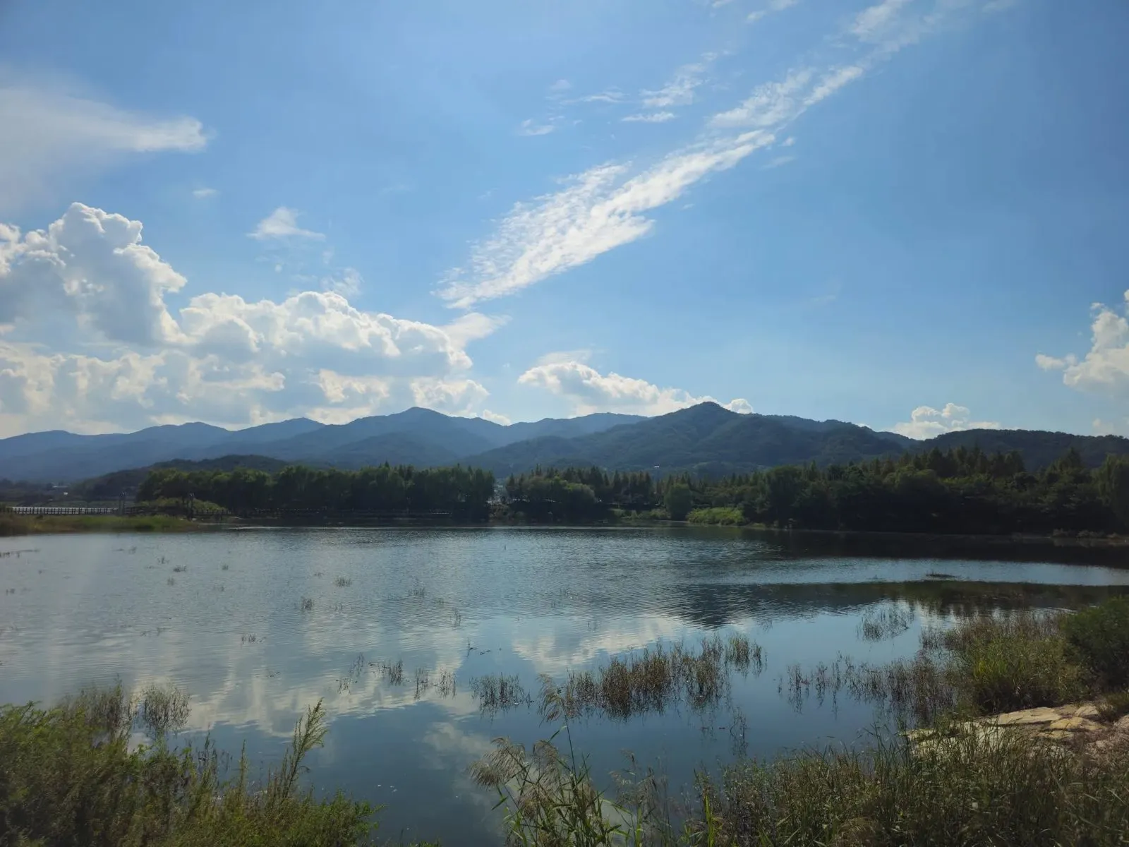 The water in front of the site.
Visiting
| Godae-ri Dolmens | |
|---|---|
| Admission | Free (I paid nothing on my visit) |
| Parking | Wide and free (as I found on my visit) |
| Hours | An outdoor site. I couldn’t confirm set hours, so go in the daytime |
| Address | 607-1 Godae-ri, Yanggu-eup, Yanggu-gun, Gangwon Province (lot-number address), on Hanbandoseom-gil next to Hanbando Island |
How to get there
By car: the car park is wide and was free when I visited.
By public transport: bus routes and times change, so check the live route in Naver Map (switched to English): search Godae-ri Dolmens, or paste the Korean name, 고대리지석묘군.
How to check buses in English: install Naver Map and switch it to English in its settings. When I checked it in October 2026, the English version showed bus routes, stop names and live arrival times (minutes and stops away) in English. Google Maps also gives public transport directions in Korea, but as of late September 2026 it still had no turn-by-turn walking or driving navigation here. Stuck? Call the Korea Travel Hotline: dial 02-1330 from a Korean mobile phone (+82-2-1330 from abroad). It has English-speaking staff.
Tips
- Combine it with Hanbando Island. It’s right in front.
- Go on a clear day. The open sky is a big part of it.
- Use a translation app on the boards. They’re in Korean only.
Who it’s for
Likely to suit (estimate): drivers passing through Yanggu, anyone interested in prehistory, and anyone who likes quiet, open places.
Sources
Checked against the two information boards at the site (photographed on my visit), the Encyclopedia of Korean Culture (Academy of Korean Studies) entry on the Godae-ri dolmen group (1971 designation, 1968 survey, the museum and the lake), and Aju Business Daily (May 2026, provincial heritage designation). Admission, parking, the address, the location next to Hanbando Island and the road name are from my own visit. Hours and public transport are unconfirmed.