Home / Jeolla / Eunpa Lake Park, Gunsan
Eunpa Lake Park, Gunsan: a lakeside walk and the Mulbit Bridge
A former farm reservoir in Gunsan, Jeonbuk State, now a free lake park with a walking path around the water, the 370 m Mulbit Bridge across it, and cherry blossoms in spring. My walk there in late February.
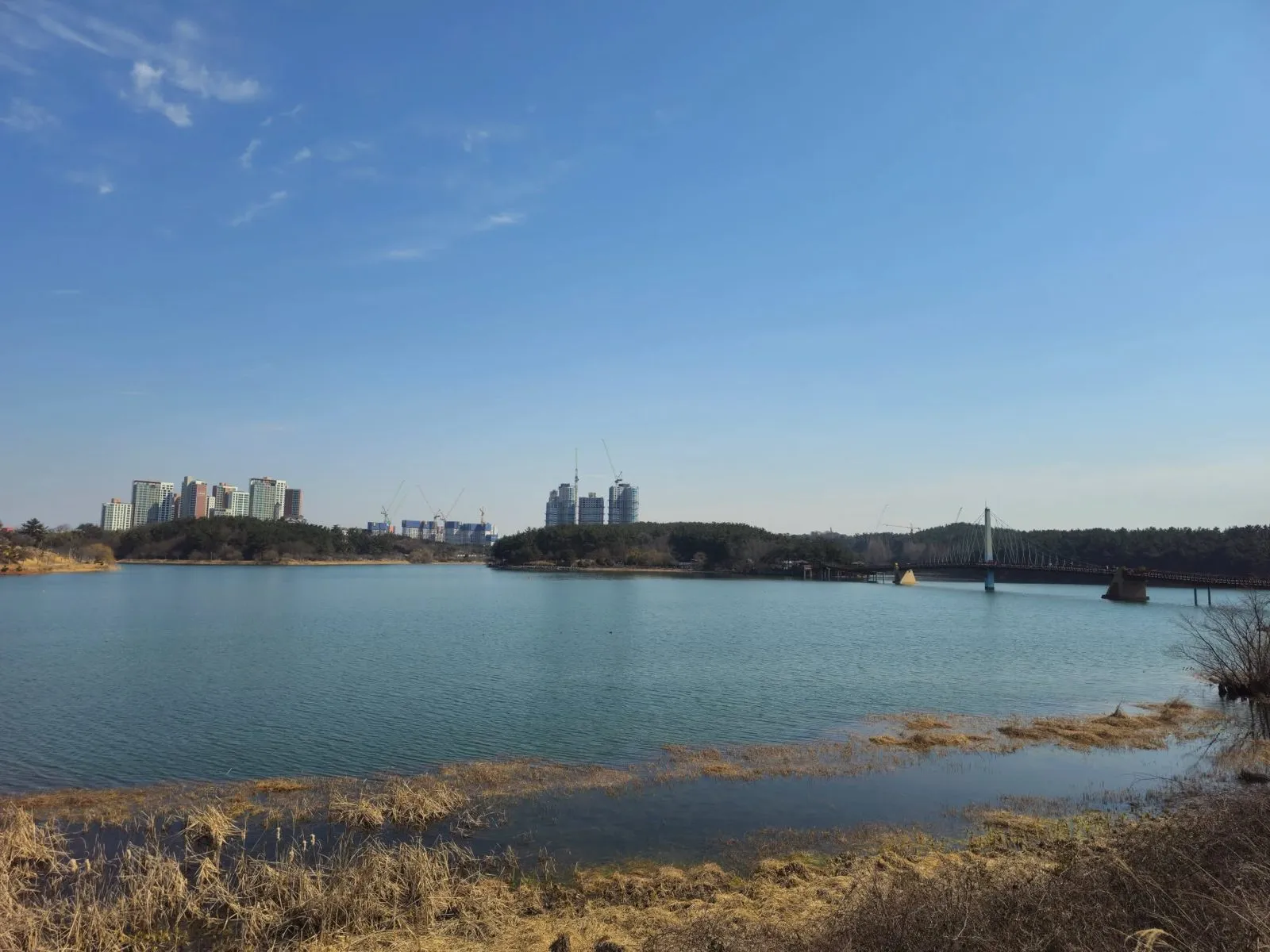
- Getting there
- By car: free parking (Korea Tourism Organization), but it isn't easy at weekends (my tip). By bus: check the live route in Naver Map.
- Cost
- Free (Korea Tourism Organization).
- Time needed
- About 2 hours to walk the whole loop (my estimate); less if you only cross the bridge.
- Best time
- Spring, when the road in from the entrance turns into a cherry blossom tunnel (Korea Tourism Organization). I went on a clear day in late February. Weekdays if you're driving.
Tap any Korean name on this page to hear it. Prefer Naver Map? In the app (set to English), search Eunpa Lake Park Gunsan, or paste the Korean name:군산 은파호수공원
Short version: Eunpa Lake Park (은파호수공원), also signed as Eunpa Yuwonji (Eunpa Recreation Area), is a big lake in Gunsan, Jeonbuk State. It started out as a reservoir that watered nearby farms. Now it’s a free park with a path round the water and a long footbridge, the Mulbit Bridge, across it. I went on a clear day at the end of February 2025 and just walked. It’s a really good place for a walk. Cross the bridge, and come on a weekday if you’re driving.
Last checked: 16 November 2026. The park’s history, entry, opening, parking, address and the cherry blossoms come from the Korea Tourism Organization. The bridge’s length, width and “first” claim come from Gunsan City’s own photo-zone sign by the bridge, which I photographed. We couldn’t confirm the exact length of the loop round the lake, because published figures differ. The impressions, the photos and the two clips are from my own visit. Tell me if anything has changed.
What it is
According to the Korea Tourism Organization, the lake was built before the Joseon dynasty as a reservoir for the farms around it, and it already appears on the Daedongyeojido, the great map of Korea by the geographer Kim Jeong-ho. In 1985 the lake and the small hills around it were made a national tourist site. The tourism organization explains the name Eunpa as “silvery waves”, for the way the water glitters.
Today it’s a park. The tourism organization lists the Mulbit Bridge, a music fountain, a cherry blossom path, an inline skating rink, a waterside stage and a lotus area.
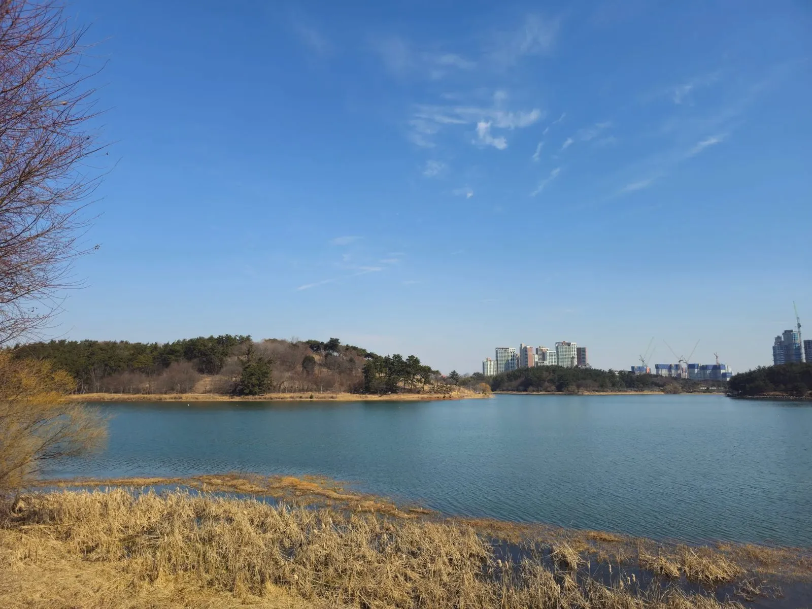 The lake from the shore path. The city sits right on the other side.
Walking round the lake
A path follows the shore all the way round, partly on a wooden boardwalk. Published lengths for the full loop differ, so we couldn’t confirm the exact distance. I’d allow about two hours to go all the way round on foot (my estimate). The tourism organization also lists a bike path.
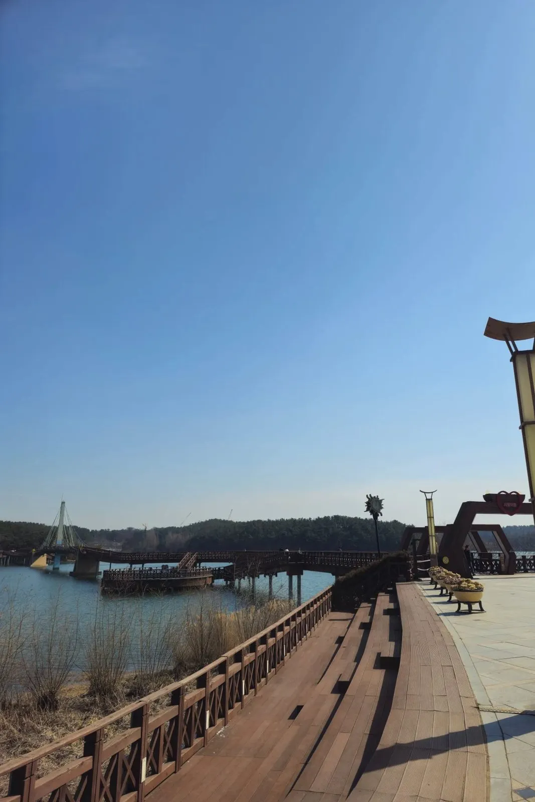 The boardwalk heading towards the bridge.
The Mulbit Bridge
The Mulbit Bridge (물빛다리, “water-light bridge”) is the one to do. Gunsan City’s sign by the bridge gives it as 370 m long and 3 m wide, and calls it Korea’s first pedestrian suspension bridge. The same sign, and the Korea Tourism Organization, say its design is based on the Jungbawi legend, a local story told about the lake.
You start at a plaza on the shore and walk in through a row of wooden hexagonal arches. The first one carries a red heart with the words 사랑의 문 (“Gate of Love”).
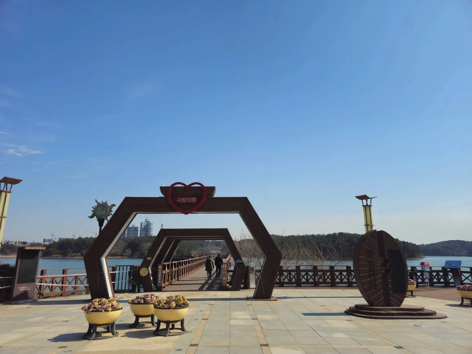 The Gate of Love, at the start of the bridge.
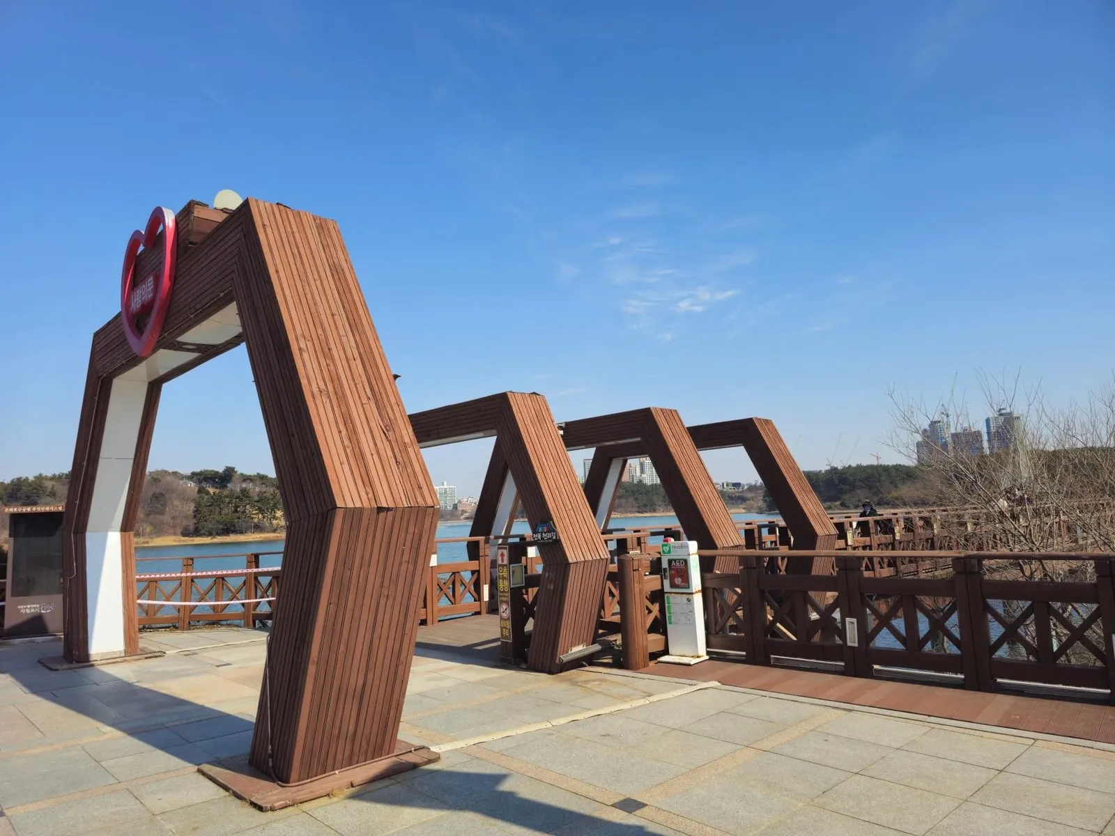 The arches from the side.
I went in the daytime, when the sun bounces off the lake and the whole thing sparkles. The Korea Tourism Organization says the bridge is softly lit at night and that the lake is known for its night view.
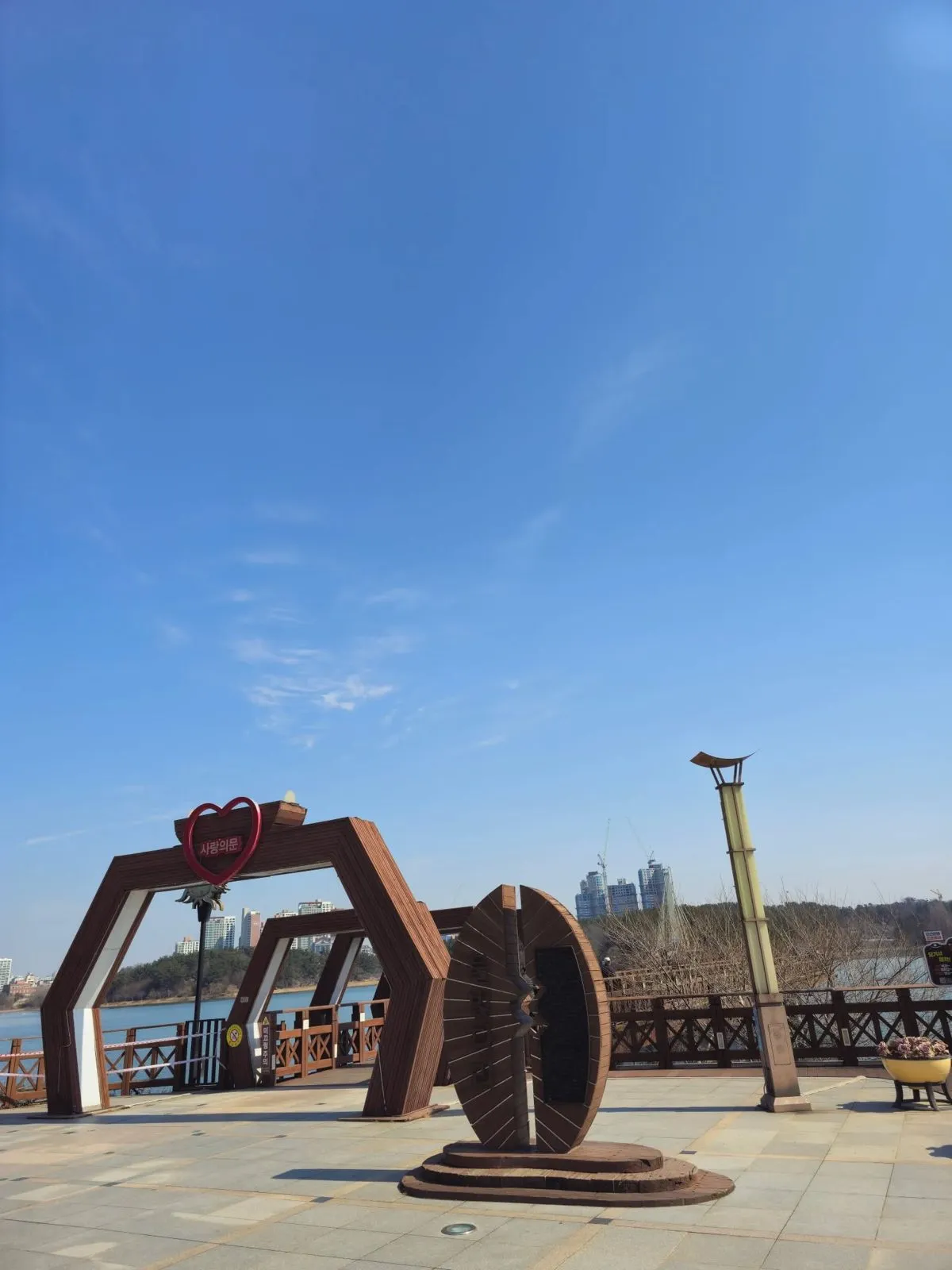 The plaza at the bridge.
Visiting
| Eunpa Lake Park | |
|---|---|
| Entry | Free (Korea Tourism Organization) |
| Hours | Always open, all year (Korea Tourism Organization) |
| Parking | Free (Korea Tourism Organization). Hard to find a space at weekends (my tip) |
| Address | 9 Eunpasunhwan-gil, Gunsan |
How to get there
By car: I drove. Parking is free (Korea Tourism Organization), but I’d say weekends are tough.
By bus: we haven’t listed bus details here. Check the live route in Naver Map by pasting the Korean name, 군산 은파호수공원.
How to check buses in English: install Naver Map and switch it to English in its settings. When I checked it in October 2026, the English version showed bus routes, stop names and live arrival times (minutes and stops away) in English. Google Maps also gives public transport directions in Korea, but as of late September 2026 it still had no turn-by-turn walking or driving navigation here. Stuck? Call the Korea Travel Hotline: dial 02-1330 from a Korean mobile phone (+82-2-1330 from abroad). It has English-speaking staff. More in our guide to taking buses in Korea in English.
Tips
- Cross the bridge. It’s the best part, and the place for your photo.
- Driving at the weekend? Expect a hunt for parking. Weekdays are easier.
- Spring for blossoms. The Korea Tourism Organization says the road in from the entrance becomes a tunnel of cherry blossoms. I went in late February, before any flowers.
- Bring a bike if you can. There’s a bike path, and going round by bike would be great (my take).
Who it’s for
Likely to suit (estimate): anyone in Gunsan with a couple of free hours, walkers and joggers, people who like a city park with a big view of water, and anyone after a photo on a bridge.
Sources
The Korea Tourism Organization’s Korean and English listings for Eunpa Lake Park (the reservoir’s history, the Eunpa Recreation Area name, the Daedongyeojido map, the 1985 designation, the name, the facilities, the legend behind the bridge, the night lighting and night view, the cherry blossom road, free entry, opening, free parking, the address), and Gunsan City’s photo-zone sign at the bridge, which I photographed on my visit (the bridge’s length, width and “first pedestrian suspension bridge” claim). The impressions, the photos and the clips are from my own visit.