Home / Gangwon / Cheoram Coal-Mine History Town
Korea coal mine village: Cheoram Coal-Mine History Town, Taebaek
Coal-boom shops and homes kept by Cheoram Station in Taebaek, some on posts over the stream, opposite a 1930s coal plant. Free entry and parking, hours and tips.
- Getting there
- It's in front of Cheoram Station in Taebaek, Gangwon Province. There's a free car park. Check the route in Naver Map.
- Cost
- Free admission, according to news reports. Parking was free when I visited.
- Time needed
- About 1 hour (estimate)
- Best time
- 10:00 to 17:00. Closed on the first and third Mondays of each month (news reports).
Tap any Korean name on this page to hear it. Prefer Naver Map? In the app (set to English), search Cheoram Coal-Mine History Town, or paste the Korean name:철암탄광역사촌
Short version: In Cheoram, an old coal-mining town in Taebaek, Gangwon Province, a row of shops and homes from the mining boom has been kept rather than knocked down. Some of the buildings were extended out over the stream behind them and stand on posts, which is why they’re called kkachibal (“on tiptoe”) buildings. Six of the eleven buildings are used as exhibition spaces. Across the road is a coal preparation plant from the 1930s that is a registered national heritage site. Admission and parking are free. It’s worth a visit at least once, in my view.
Last checked: 11 October 2026. The background comes from the Ministry of Culture, Sports and Tourism’s English webzine, several Korean news reports, and the information board at the site, which I photographed on my visit. Hours, closing days and the free admission come from news reports (2024 and 2026); the board at the site gives the same hours. The free parking is what I found on my visit. For train times, check the live route in Naver Map. Tell me if anything has changed.
What it is
Taebaek is in the mountains of Gangwon Province. The Ministry of Culture, Sports and Tourism’s English webzine describes Cheoram Coal-Mine History Town as a “living-history museum” by the stream in front of Cheoram Station: instead of being demolished, the old buildings were kept, and six of the eleven are used as exhibition spaces. Korean news reports describe it as a trip back to the 1970s and 1980s, when Taebaek was at the centre of Korea’s coal industry.
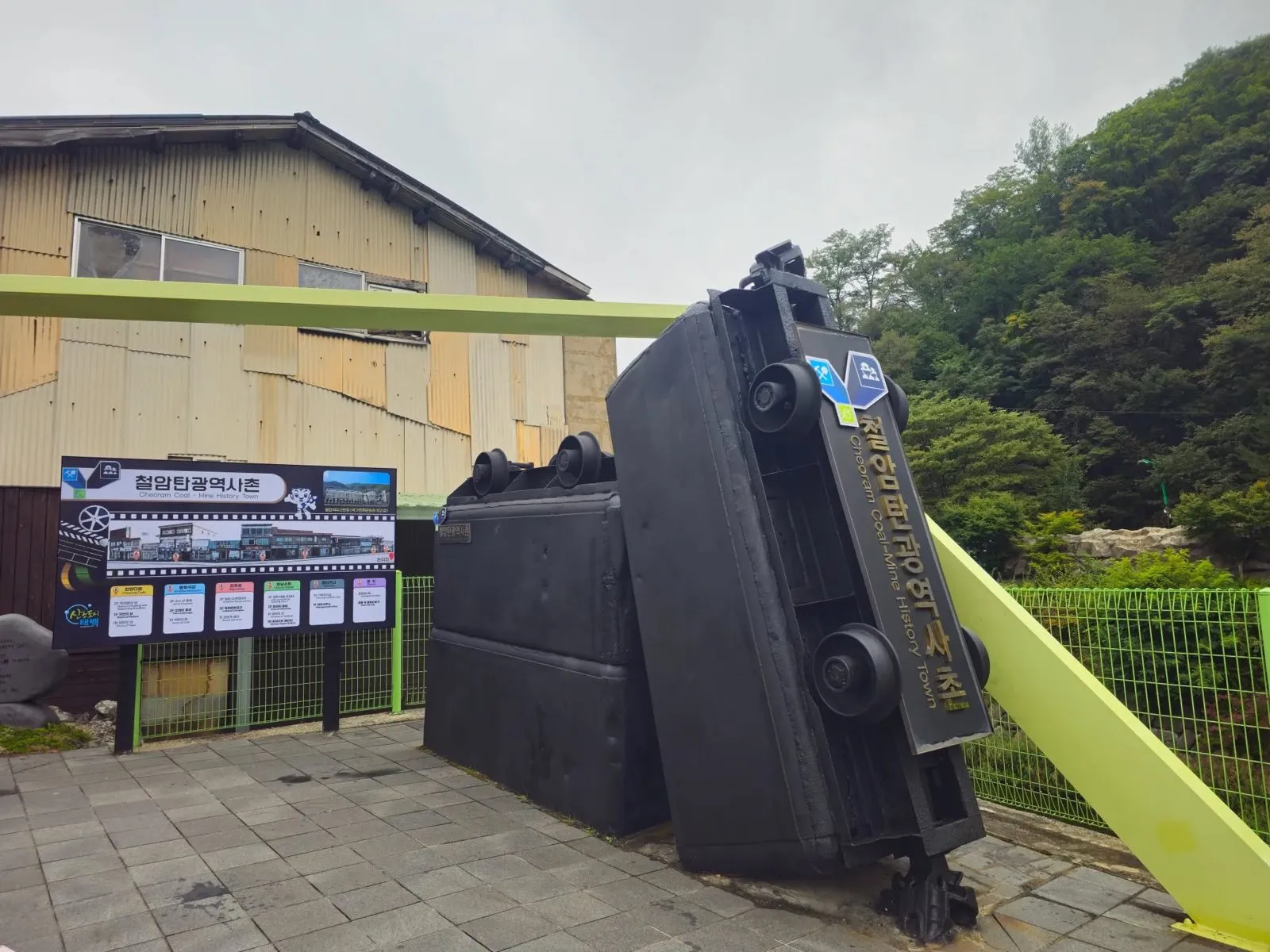
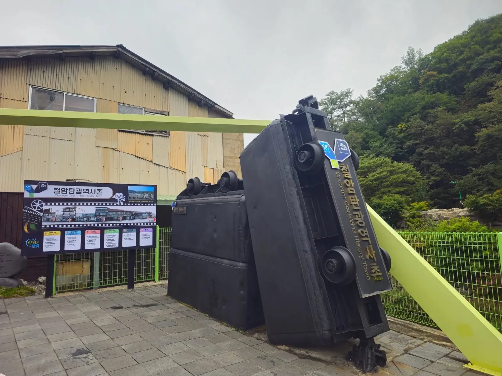 The entrance sign is made of tipped-up mine carts.
On the street side the buildings still carry old shop signs. The information board at the site names the six buildings used as exhibition spaces, still under their old shop names (the English is the board’s, with a few spelling slips corrected, such as “Pellikana” and “Brackkets”):
| Building | What’s inside (from the board) |
|---|---|
| Bench | Viewing information; “View into Life” |
| Pelicana | Planning exhibition hall (2F); management office (1F) |
| Honam Super | Cheoram Village viewing area (3F); “Face of Cheoram” (2F); “Window to Taebaek” (1F); Honam Super Gallery (basement) |
| Jinju-sung | Cheoram documentary (3F); cultural complex (2F); tourist rest area (1F) |
| Bonghwa Restaurant | “Art of Cheoram” (3F); “Old Landscape” (2F); “Room of Coal” (basement) |
| Hanyang Cafe | “Room in a Building with Supporting Brackets” (2F); “Room of Nature” (1F); “Room of Hope” (basement) |
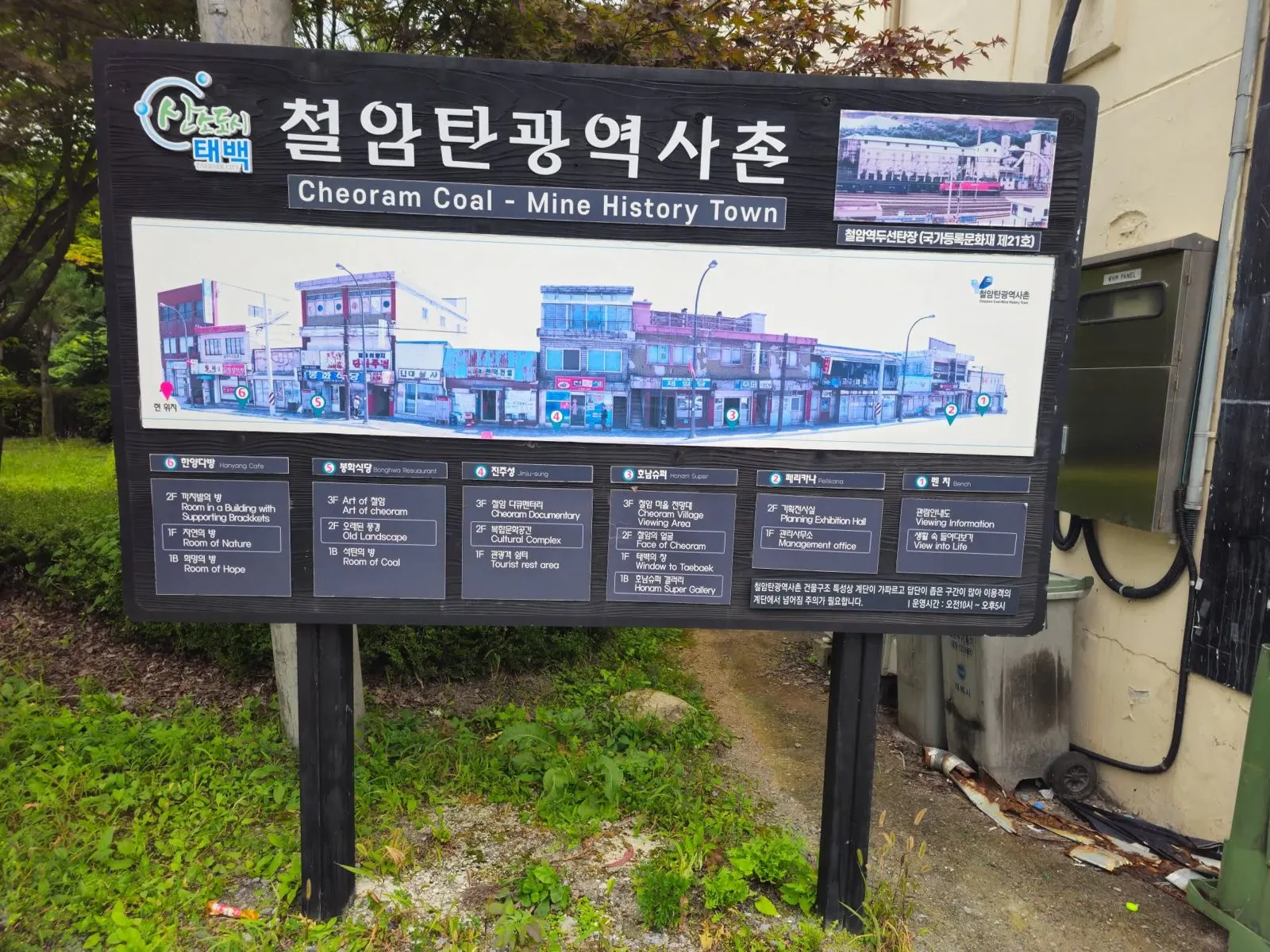 The information board, with the six exhibition buildings and what’s on each floor.
I went into a few of these buildings. The exhibits were short, the kind you can look round quickly and move on.
The board also warns that, because of how the buildings are built, the stairs are steep and the steps narrow in many places, so take care.
The kkachibal buildings
The unusual part is at the back. Korean news reports explain that when the town was booming and space was short, the buildings were extended out towards the Cheoram Stream. Posts were put in underneath to hold them up, and because they look like the building is standing on tiptoe, they’re called kkachibal buildings. The ministry’s webzine calls this “a form rarely seen in Korea”.
The old signs and buildings haven’t been tidied up too much, which is a big part of the appeal (my view).
The coal preparation plant at Cheoram Station
Across the road, by Cheoram Station, stands a large coal preparation plant, a facility for processing coal. The board at the site labels it as a registered national cultural heritage site, No. 21, and news reports say it was registered in May 2002. The ministry’s webzine and a 2026 news report describe it as Korea’s first anthracite coal preparation plant. Sources give different build years in the 1930s, so I’ll just say it dates from the 1930s.
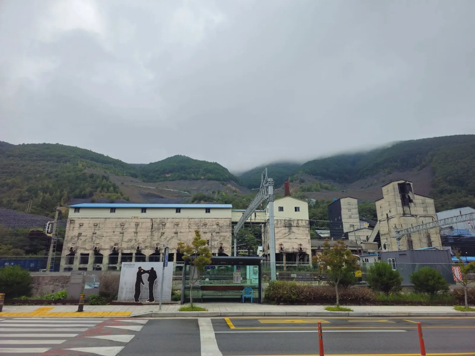 The coal preparation plant from across the road.
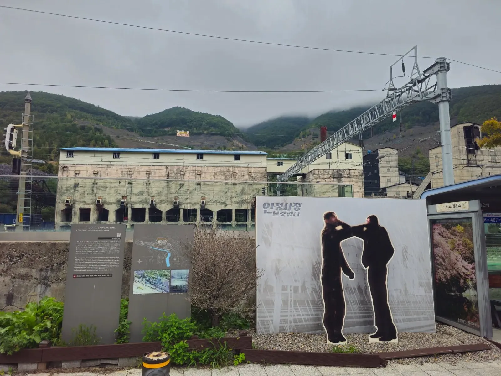 Information boards and a picture panel in front of the plant.
Around the village
Around the village there are sculptures and art pieces on the theme of mining life, several of them miners.
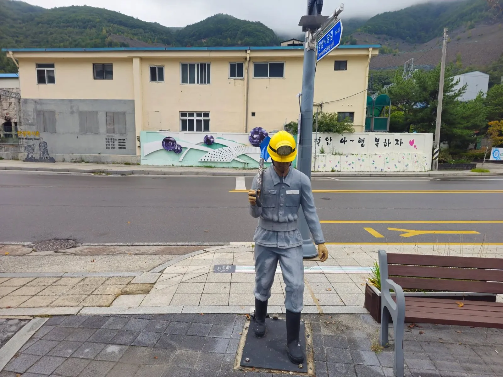 A miner statue by the road.
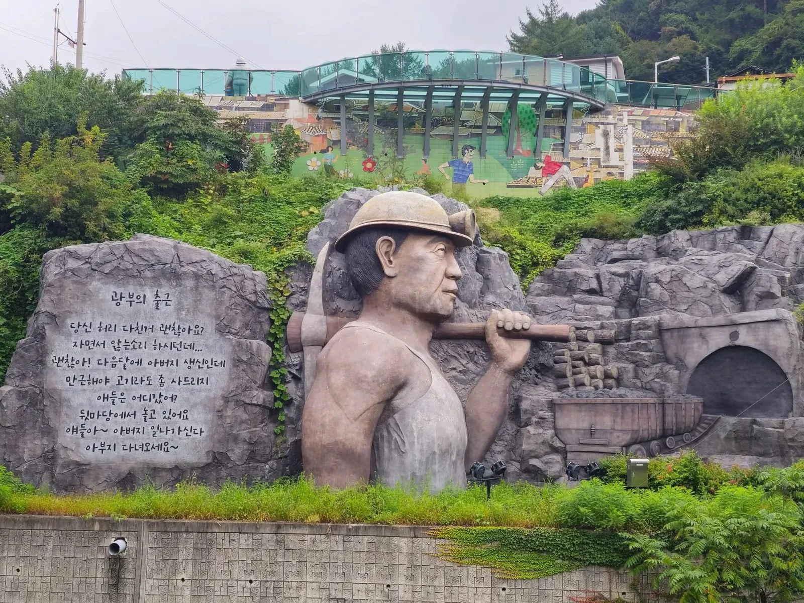 A carved relief of a miner on the hillside.
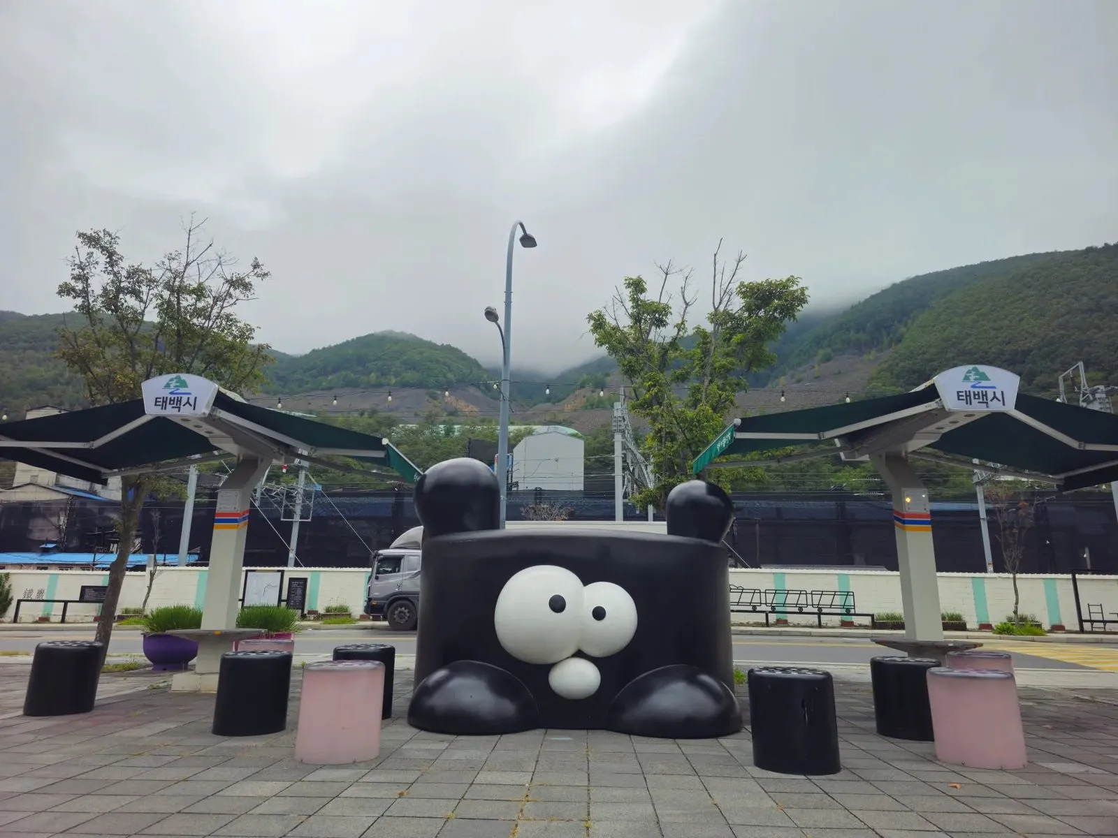 A playful black sculpture in a square nearby.
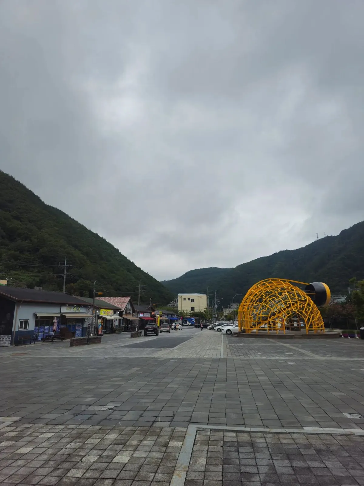 A wide square nearby, with the yellow dome on the right.
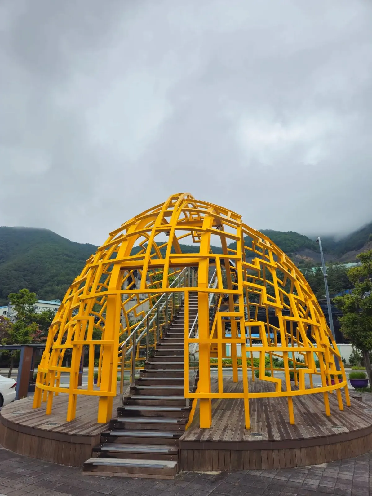 The yellow metal dome up close.
It was quiet and unhurried on the Saturday I went.
Visiting
| Cheoram Coal-Mine History Town | |
|---|---|
| Hours | 10:00 to 17:00 (news reports and the board at the site) |
| Closed | The first and third Mondays of each month (news reports) |
| Admission | Free (news reports) |
| Parking | Free (as I found on my visit) |
| Address | 404, Dongtaebaek-ro, Taebaek, Gangwon Province (Cheoram-dong) |
Hours and closing days can change. If you’re making a special trip, call the Korea Travel Hotline (02-1330 from a Korean mobile) first.
The 2026 news report I checked said there’s no restaurant in the village itself, and suggested nearby Cheoram Market or central Taebaek for food.
How to get there
By train: the village is in front of Cheoram Station (철암역) on the Yeongdong Line, at 389, Dongtaebaek-ro, Taebaek (station details as listed in Naver Map, October 2026). Train times change, so check the live route in Naver Map (switched to English) before you go: search Cheoram Coal-Mine History Town. The Korea Travel Hotline (02-1330 from a Korean mobile) can also help.
Other routes: check the live route in Naver Map: search Cheoram Coal-Mine History Town, or paste the Korean name, 철암탄광역사촌.
How to check buses in English: install Naver Map and switch it to English in its settings. When I checked it in October 2026, the English version showed bus routes, stop names and live arrival times (minutes and stops away) in English. Google Maps also gives public transport directions in Korea, but as of late September 2026 it still had no turn-by-turn walking or driving navigation here. Stuck? Call the Korea Travel Hotline: dial 02-1330 from a Korean mobile phone (+82-2-1330 from abroad). It has English-speaking staff.
By car: parking was free when I visited.
Tips
- Don’t go on the first or third Monday. It’s closed then.
- Look at the back too. The kkachibal posts are on the stream side of the buildings.
- Mind the stairs. The board warns that the stairs are steep and the steps narrow in many places.
- Look across the road. The 1930s coal preparation plant is part of the story.
Who it’s for
Likely to suit (estimate): anyone interested in Korea’s industrial history, photographers who like old signs and weathered buildings, and travellers who prefer quiet places to busy sights.
Sources
Checked against the Ministry of Culture, Sports and Tourism’s English KOREA webzine (February 2026: the living-history museum, the 11 buildings and 6 exhibition spaces, the stilt buildings, the coal plant), Korean news reports from Kyunghyang Shinmun (January 2024), Uri Munhwa Sinmun (February 2024), JoongAng SUNDAY (June 2025), Kyungbuk Maeil (July 2026) and WikiTree (May 2026) for hours, closing days, admission, the kkachibal buildings and the coal plant, and the information board at the site (photographed on my visit). Parking is from my own visit. The street address is from the Korea Tourism Organization’s tourism data. For train times, use Naver Map’s live routes.